Juliana Trail

Juliana trail

A long-distance trail around the Julian Alps

    Juliana Trail

    Are you a hiking enthusiast? Are you tempted to embark on a long-distance hike? Accept the challenge and set off on the 270-km Juliana Trail – a long-distance hiking trail around the Julian Alps

    Juliana is a 270-km circular hiking trail that runs through the most beautiful parts of the Julian Alps. Juliana Trail will lead you through valleys, over mountain passes, and along the Sava and Soča Rivers. The entire trail is divided into 16 stages of varying length and difficulty.


    The total length of the trail is 270 km with a total elevation gain of as much as 10.000 m. The estimated time to complete the entire trail is 102 hours.


    Of course, you can choose to hike only those stages that appeal to you the most.

    Juliana Trail - Martuljek mountain group, photo; Aleš Zdesar

    View of the peaks of Julian Alps from the Martuljek Forest

    Hiking the 16 stages of the Juliana long-distance trail

    The first stage leads through the valley of the Sava Dolinka and along the edges of the Karavanke mountain range. The trail climbs to the village of Srednji Vrh, then descends back to the valley to Gozd Martuljek near the Martuljek waterfalls. It continues along the Sava River right at the border of Triglav National Park. Along the way, you can admire the magnificent peaks of the Julian Alps. The first stage is 18.5 km long and can be completed in 5 and a half hours.


    The second stage runs from Mojstrana and passes through the village of Dovje before reaching the ironworks town of Jesenice. This stage is 20.6 km long and can be completed in 4 and a half hours.


    The third stage starts in Jesenice and runs across the Dobravško Polje and the Sava Dolinka to the villages at the foot of Mt Stol before reaching Begunje. This stage is 16.7 km long and will take you 4 and a half hours to complete.


    The fourth stage is flat and walkable for everyone. It runs from Begunje and passes through Radovljica and Bled, taking you all the way to Lake Bled. There are many natural attractions to explore along the way. This stage is only 15 km long and can easily be completed in 3 hours and 40 minutes.


    The fifth stage starts at Lake Bled and runs through Gorje, ending in Goreljek on Pokljuka. This stage is 21 km long and can easily be completed in 6 hours and 40 minutes.


    The sixth stage leads through the forests and mountains of the Pokljuka Plateau before descending to the village of Stara Fužina. This stage is 22 km long and can be completed in about 4 hours and 40 minutes.

    Juliana Trail via Bohinj Lake

    Bohinj lake

    The seventh stage is one of the shortest, with a distance of only 11 km, and you can easily complete it in 2 and a half hours. It takes you from Stara Fužina to Bohinjska Bistrica and passes through Ribčev Laz on Lake Bohinj.


    The eighth stage is one of the more demanding; it runs from Bohinjska Bistrica to Podbrdo across the ancient Vrh Bače mountain pass. For centuries, this pass connected Bohinj to Slovenia’s Primorska region. This stage is 13.7 km long and will take you 8 hours to complete.


    The ninth stage is one of the most beautiful, leading through sunny and magical alpine hamlets above Baška Grapa. This stage is 17 km long and can be completed in 6 and a half hours.


    You have now completed more than half of the entire trail. The tenth stage takes you along the lower part of Baška Grapa before reaching the Soča River valley and the town of Most na Soči. This stage is 16.2 km long and takes about 4 and a half hours to complete.


    The eleventh stage is the shortest, with a distance of only 4.6 km, and can easily be completed in 1 hour. It is a good idea to add this stage to the next one or take a day off to explore the magnificent Tolmin Gorges. The trail leads from Most na Soči to Tolmin.


    The twelfth stage is 16.1 km long and takes 3 hours and 50 minutes to complete. It follows a level trail linking Tolmin to the historic town of Kobarid. Once there, you can visit the Kobarid Museum and learn about the area’s history as the Isonzo Front, one of the bloodiest campaigns in World War I.

    Always on the right track

    Use the interactive map to find your perfect outdoor experience. Always in the right place at the right time on the right path.

    Juliana Trail - Soča river, Photo Domen Grgl

    The Soča river


    After a hard day’s hike, you can rest in tailored accommodations that offer additional services tailored to hikers.

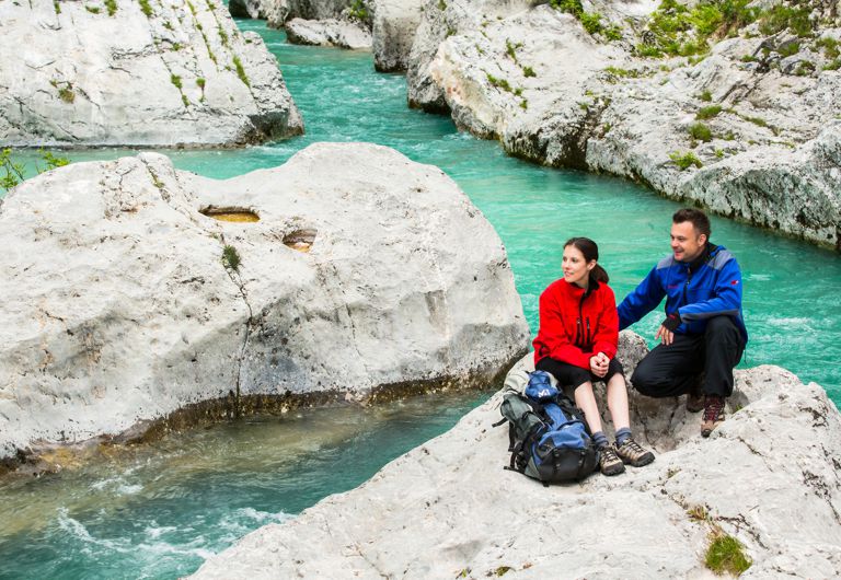
    The thirteenth stage runs between Kobarid and Bovec and takes you from the Primorska region back into the rugged mountain world. Most of the trail runs along the Soča River, so you can enjoy it in all its beauty. This stage is 20.4 km long and takes 6 hours to complete. It is one of the longest stages, so make sure you are well prepared.


    The fourteenth stage is one of the most picturesque, passing several First World War monuments. It leads up the Log pod Mangartom valley, which is rich in waterfalls. The village of Log pod Mangart is considered one of the most beautiful in the Julian Alps. This stage is 11.3 km long and can easily be completed in 3 hours and 40 minutes.


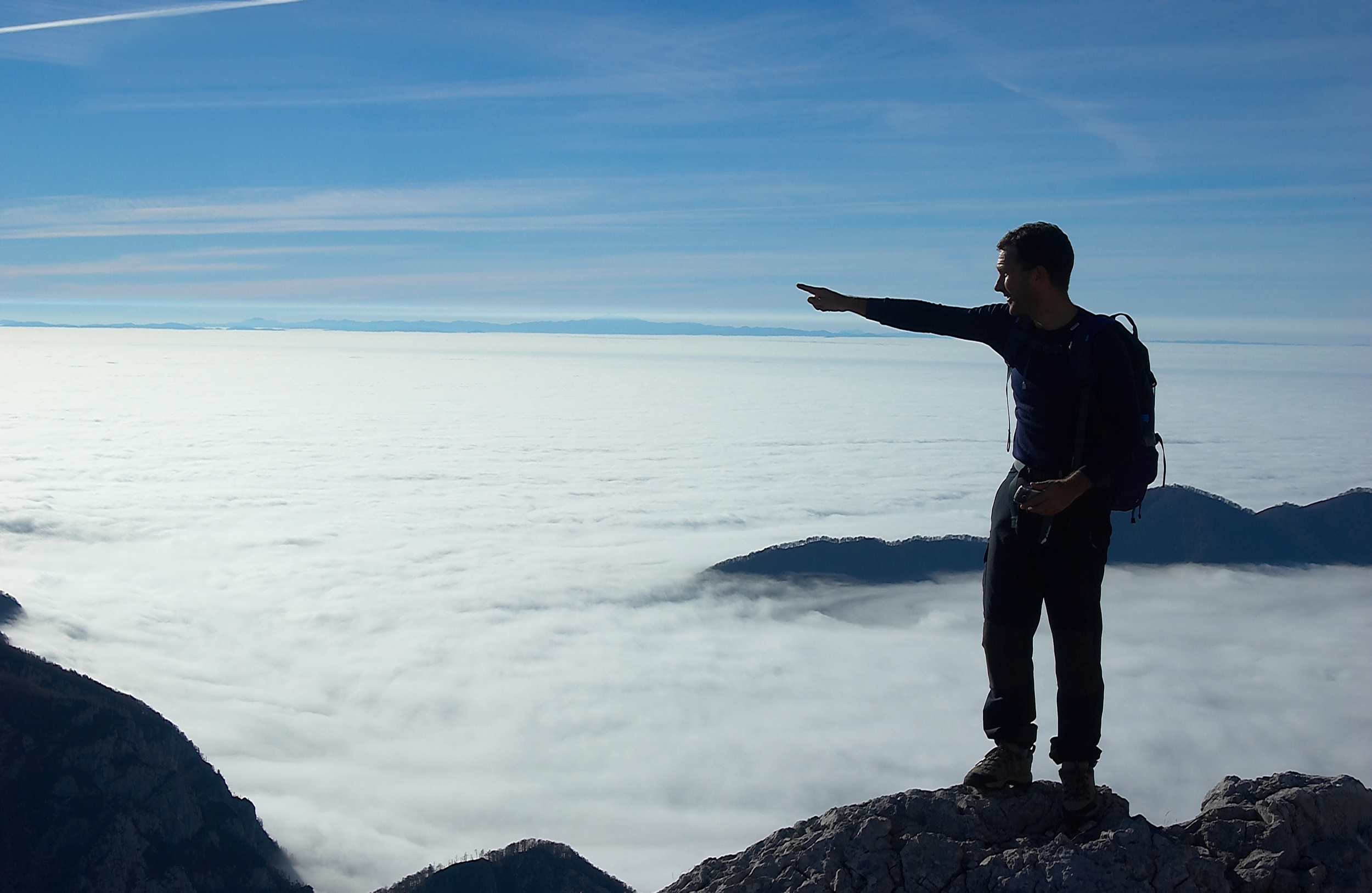
    You have reached the penultimate, fifteenth stage, which has the greatest elevation gain on this part of the trail. From Log pod Mangartom you ascent a good 600 m before reaching the Predil Pass and descending to the Italian side. This stage is 17.6 km long and takes about 4 hours and 15 minutes to complete.

    The final, sixteenth stage is mostly level with a distance of 19 km, which can be completed in a little under 6 hours. It runs from the mining town of Cave del Predil towards Tarvisio, passing through the village of Rutte and crossing the border in Rateče before arriving back at your starting point in Kranjska Gora.

    The stages vary in length, so make sure you are adequately prepared for each hike. Carry enough water and food. We recommend that you hire a local guide for the entire trail.


    We wish you safe and happy trails!