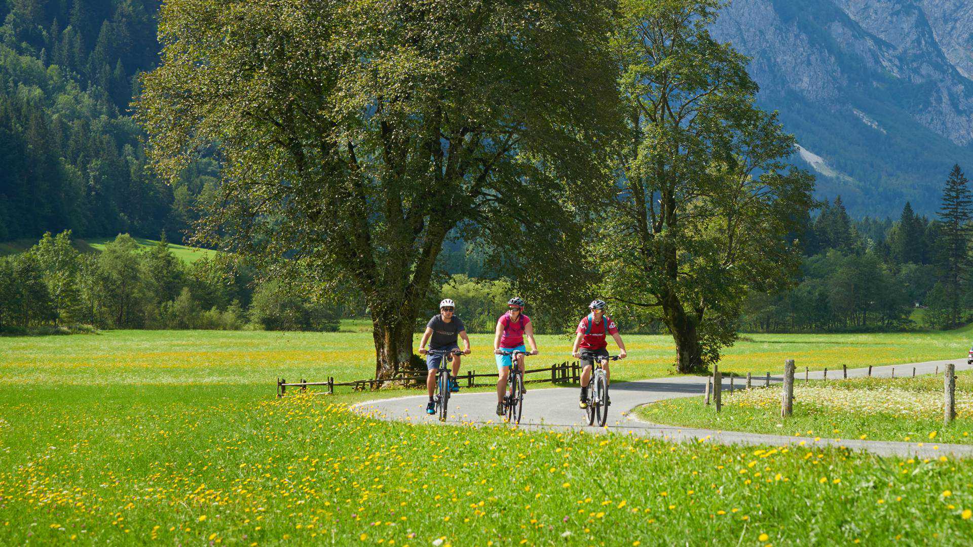
Cycling over the Vršič Pass from Kranjska Gora to Bovec
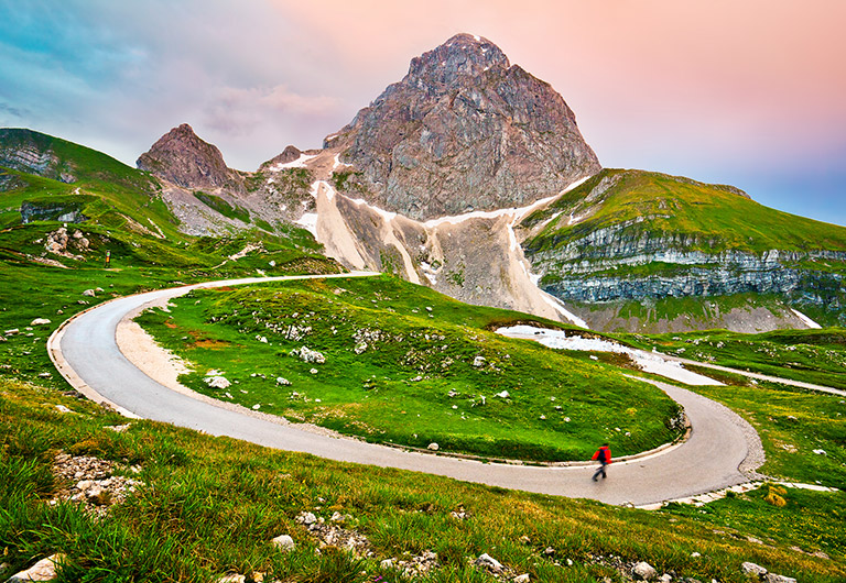
The route begins in the summer-winter tourist resort of Kranjska Gora (806 m). The tarmac road leads past Lake Jasna and the WWI Russian Chapel, climbing into the heart of the Julian Alps and Triglav National Park, via 25 hairpin bends, to the Vršič Pass (1611 m), where the Poštarski Dom mountain hut is open in summer. The pass is guarded on one side by Mt. Mojstrovka and on the other by Mt. Prisojnik – both of them well over 2000 m high.
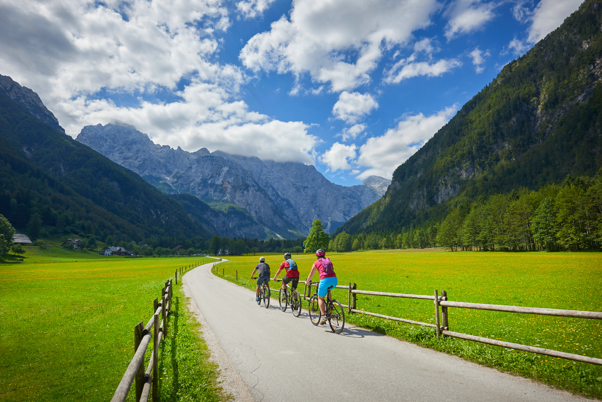
On the other side of the pass, the road descends steeply into the Trenta Valley. After another 25 hairpin bends and an even steeper gradient than on the ascent, the road descends past the source of the River Soča and the Triglav National Park Info Centre. The road continues along the Trenta Valley alongside the River Soča, past Velika and Mala Korita – narrow canyons gouged out by the River Soča, to Bovec. The total distance to be cycled is about 46 km. The altitude to climb is ca. 800 m, and the descent is ca. 1150 m.
It is possible to return from Bovec via Log pod Mangartom and the Predel Pass on the Slovenia-Italy border, then on the Italian side past Tarvisio and Rateče back to Kranjska Gora. This part involves a climb of ca. 700 m, a descent of ca. 400 m and a distance of about 50 km. There is a two-lane cycle path with a minimal gradient between Tarvisio and Kranjska Gora.